Oia → Baiona
After the easy run up from A Guarda, this stage introduces the Galician hills. You leave the monastery at Oia along the coast, climb and descend through small parishes and a dramatic rocky headland, and finally drop into Baiona — a handsome seaside town wrapped around the Monterreal fortress, and famously the first place in Europe to hear that Columbus had reached the New World. It is about 18 km with a couple of genuine climbs in the second half.
Find a place to stay in Baiona tonight
Check availability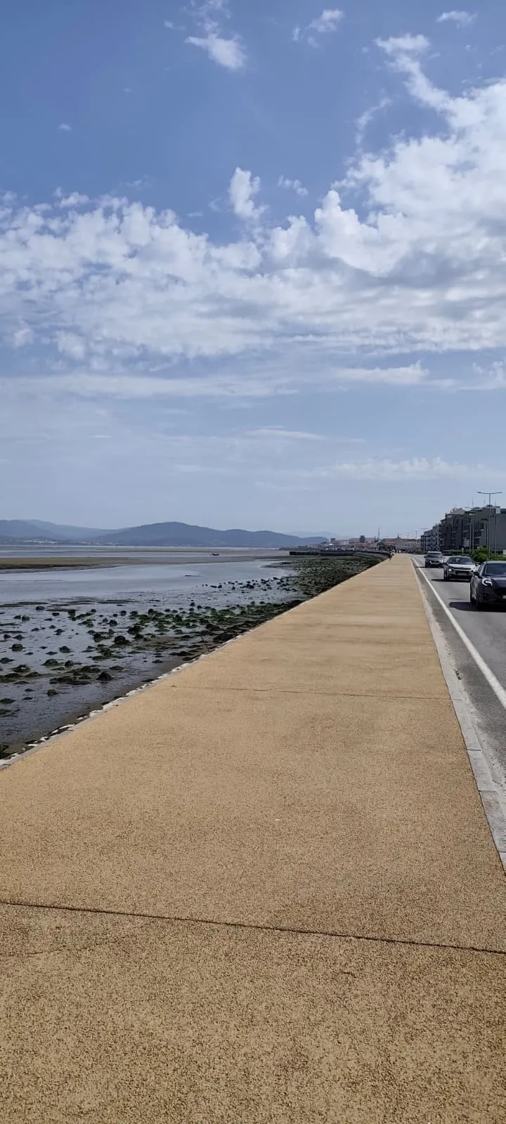
Coastal trail and quiet road out of Oia, then a hillier middle and a rocky headland with sweeping Atlantic views, before a long descent through Baredo into Baiona; a couple of real climbs in the second half on otherwise good surfaces.
Stage map & GPX track
This map shows where the stage runs. For the exact route, the elevation profile and a downloadable GPX track, use these pilgrim resources:
Distance and difficulty
The stage is about 18.2 km, with roughly 260 m of ascent and a similar amount of descent — rated moderate rather than easy because of two real hills in the second half. The first stretch out of Oia is gentle and coastal; the work comes later, on the climb to the headland and the long descent into Baiona. Surfaces are mostly good (trail and quiet road), so the difficulty is in the gradient, not the footing. Most walkers take four to five hours.
Route and variants
From Oia the waymarked route follows a quiet coastal trail for the first few kilometres, then rejoins the main line toward Viladesuso. There is no major split on this stage — the Coastal Route runs as a single corridor between the hills and the sea — but you will alternate between shoreline path and quiet road, and the middle section climbs inland a little before the headland. Follow the yellow arrows carefully through the small parishes, where the line occasionally leaves the obvious road.
The stage, section by section
You leave Oia on a coastal trail and reach Viladesuso, the first place with services, after about 4.5 km — a sensible breakfast or coffee stop. The route continues through Porto Mougás (where bars and shops are often closed, so do not rely on them) and past Pedra Rubia, where a seaside campsite with a windmill marks the way. After A Ermida the path climbs onto a rocky headland with sweeping coastal views — the scenic high point of the day — then descends through the parish of Baredo. The final few kilometres drop through residential streets into the centre of Baiona.
Arriving in Baiona
Baiona is the first proper town since A Guarda and a rewarding place to stop. Its centrepiece is the Castillo de Monterreal, a walled fortress on a headland over the bay, now home to the Parador hotel; you can walk the ramparts for the views even if you are not staying. On the harbour stands a full-size replica of the caravel La Pinta, which put in here in March 1493 — making Baiona the first town in Europe to learn of the discovery of America. The old town has plenty of bars, restaurants and shops, so it is a good resupply and rest point.
Where to sleep and eat
Baiona has a wide range of beds. The pilgrim albergue is the Estela do Mar — 30 places at about €19, central, open all year except a fortnight around New Year. The Hostel Baionamar is the other budget name in current guides, though it is a hostel rather than an albergue and runs from March to early November. At the other end, the Parador de Baiona inside the Monterreal fortress is the landmark splurge, with conventional hotels and guesthouses in between. If you prefer to stop earlier, Viladesuso has its own beds (the Albergue da Estrela and the Alojamiento Camino Portugués Oia). Baiona's old town is full of seafood restaurants and tapas bars; eat here, because the next stage into Vigo is long. Book ahead in summer — Baiona is a popular weekend destination as well as a Camino stop.
Stage logistics at a glance
Distance about 18.2 km; difficulty moderate; four to five hours walking with two real climbs in the second half. Reliable services are at Viladesuso (early) and Baiona (end); do not count on Porto Mougás. The next stage, Baiona to Vigo, is long (around 26 km on the coastal line) and tricky to navigate in places, so arriving in Baiona with time to rest and resupply sets you up well.
Where to stay
Related
Frequently asked questions
How long is the Oia to Baiona stage?
Is the Oia to Baiona stage hard?
Where can I eat between Oia and Baiona?
Where can I sleep in Baiona?
What is the fortress in Baiona?
How should I plan the day after Baiona?
Verified: 2026-08-12 Sources: https://www.gronze.com/galicia/pontevedra/baiona · https://stingynomads.com/portuguese-coastal-camino-stages/ · https://thenwewalked.com/oia-to-baiona-camino-portuguese-coastal/ · https://santiagoways.com/en/stage-guarda-baiona/