Baiona → Vigo
This is the long day of the northern coast: about 27 km around the great Bay of Vigo, from the seaside calm of Baiona into Galicia's largest city. On the litoral variant it is almost flat — promenades, beaches and seafront road most of the way — so the difficulty is distance and, near Vigo, some of the patchiest waymarking on the whole route. Start early, and have a maps app ready for the urban approach.
Find a place to stay in Vigo tonight
Check availability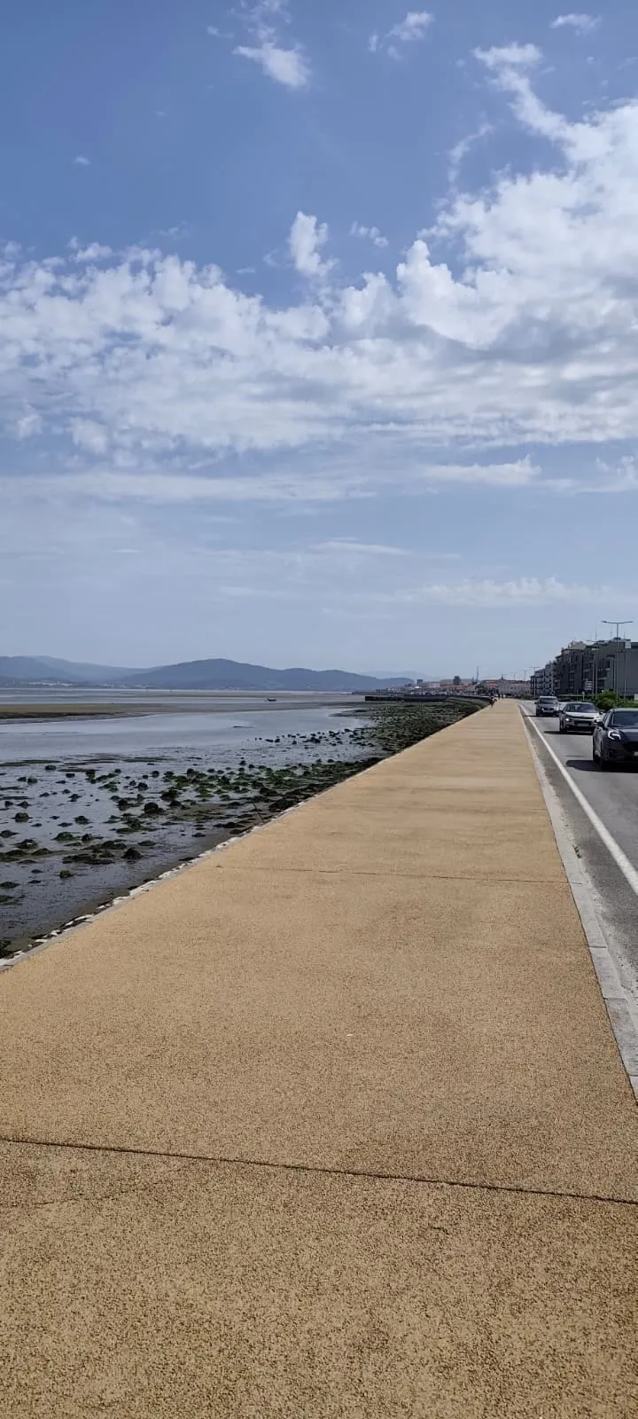
A long, mostly flat coastal day on the litoral variant — promenades, beaches and seafront road around the Bay of Vigo — with an optional hillier inland line; the challenge is distance and patchy waymarking near the city, not gradient.
Stage map & GPX track
This map shows where the stage runs. For the exact route, the elevation profile and a downloadable GPX track, use these pilgrim resources:
Distance and difficulty
There are two ways to measure this stage. The litoral (seafront) variant is about 26.9 km and almost flat, with only around 140 m of ascent; the official inland variant is a little shorter at roughly 24.6 km but climbs more (around 400 m). Either way it is a long day — four hours of actual walking minimum, more with stops and city navigation — so it is rated moderate for length rather than terrain. Most coastal walkers take the flat litoral line for the views.
Route and variants
Out of Baiona the route soon reaches A Ramallosa and then splits in spirit: the litoral variant hugs the bay through Nigrán, Playa América and a string of beaches, while the official inland line climbs away from the water before rejoining near Vigo. The litoral is flatter and more scenic; the inland is marginally shorter but hillier. The real catch is the final approach into Vigo, where arrows are sparse and contradictory by Camino standards — most walkers use a navigation app for the city section.
The stage, section by section
Leaving Baiona you cross to A Ramallosa over the Ponte Românica da Ramallosa, a medieval (13th-century) bridge over the Miñor river. From there the litoral line runs through Nigrán and Playa América, past Praia de Patos and Praia do Portiño, and along the seafront through Saians and Canido — the Areal de Canido has well-known seafood restaurants. The last long stretch follows Samil beach, nearly two kilometres of white sand on the edge of the city, before the route turns into Vigo proper and its busy waterfront.
Arriving in Vigo
Vigo is the biggest city on the Coastal Route — a working port and industrial hub rather than a postcard old town, but with every service a pilgrim could want and good onward transport. The waymarking through the city is notoriously thin, so be prepared to navigate by app or by the harbour and city-centre landmarks. Vigo is also the point where the Coastal Route effectively rejoins the wider Camino Portugués network for the run to Santiago via Redondela.
Where to sleep and eat
As a city, Vigo has accommodation at every level. The pilgrim bed is the Xunta albergue Juan Manuel López-Chaves in the Ribeira do Berbés, the old maritime quarter by the port — around 90 places at €10, credential required, doors from 13:30. Above that sit business and boutique hotels concentrated around the centre and the port. Beds are rarely the problem here that they are in the small coastal villages; the challenge is choosing a location that suits where you will pick the route up again the next morning. For food you are spoilt — Vigo is famous for its oysters and seafood, especially around the Rúa da Pescadería. Resupply fully here before the shorter, greener stage to Redondela.
Stage logistics at a glance
Distance about 26.9 km on the litoral variant (around 24.6 km inland); difficulty moderate, almost entirely for length; little real climbing on the coast line. Services are plentiful along the bay and in the city, so the planning priorities are an early start and a navigation app for the final approach into Vigo. The next stage, Vigo to Redondela, is short and easy by comparison (about 16.5 km).
Where to stay
Related
Frequently asked questions
How long is the Baiona to Vigo stage?
Is the Baiona to Vigo stage hard?
Should I take the coastal or the inland variant?
What is the Ramallosa bridge?
Is waymarking a problem on this stage?
Where can I sleep in Vigo?
Verified: 2026-08-12 Sources: https://www.alberguescaminosantiago.com/camino-portugues-por-la-costa/albergue-peregrinos-vigo/ · https://stingynomads.com/portuguese-coastal-camino-stages/ · https://thenwewalked.com/baiona-to-vigo-camino-portuguese-coastal/ · https://www.alltrails.com/trail/spain/pontevedra/camino-de-la-costa-portuguesa-oia-baiona