Viana do Castelo → Caminha
One of the longest flat days on the Portuguese Coastal Camino — about 27.8 km following the Atlantic shoreline north from Viana do Castelo to Caminha, the last Portuguese town before the crossing into Spain. Long but never hard: one modest climb, ocean views most of the day, and a decision to make at the end about how you cross the Minho.
Find a place to stay in Caminha tonight
Check availability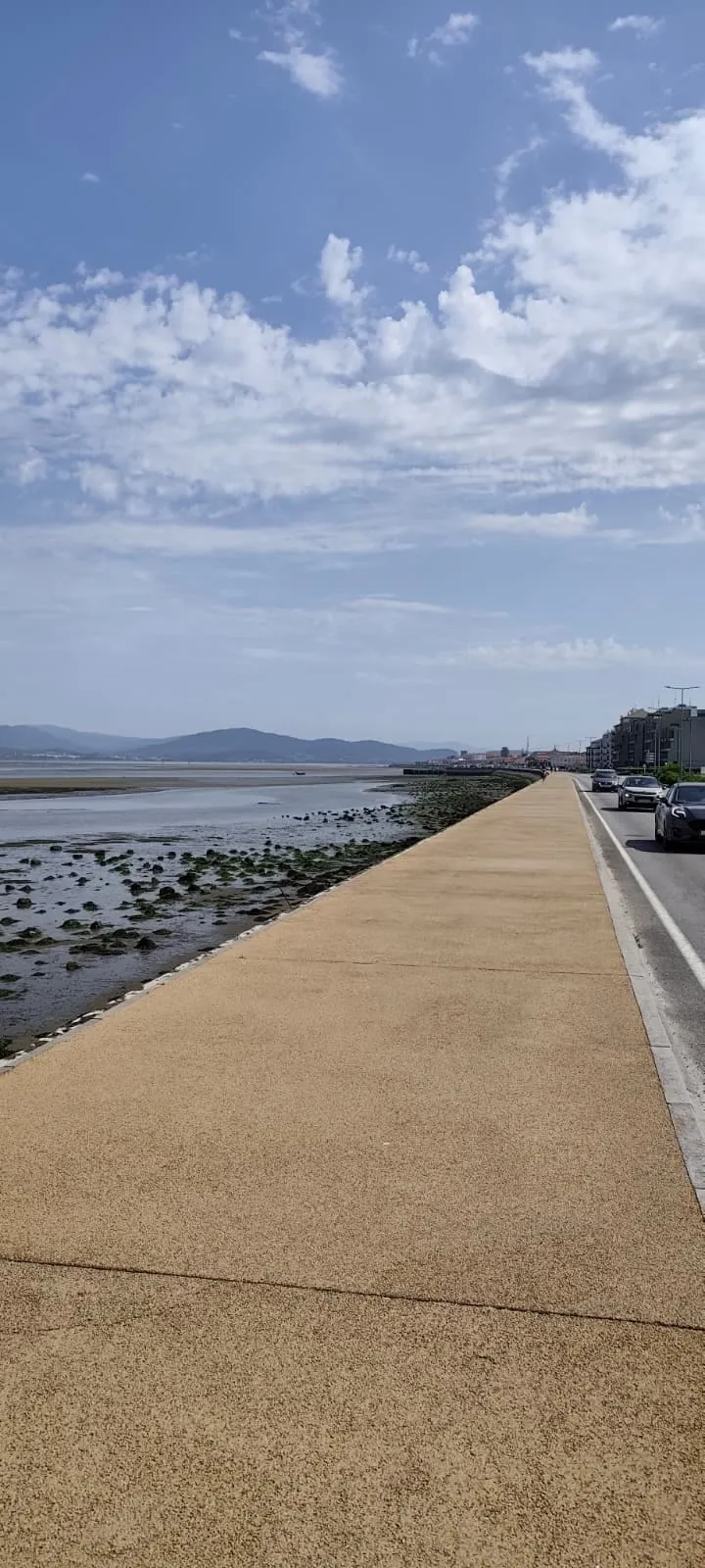
Mostly flat coastal walking on the Senda Litoral boardwalk and minor roads. Surfaces are roughly 16.5 km asphalt, 8.5 km cobblestone and 3 km footpath, with one modest climb of about 100 m mid-stage.
Stage map & GPX track
This map shows where the stage runs. For the exact route, the elevation profile and a downloadable GPX track, use these pilgrim resources:
Distance and difficulty
Roughly 27.8 km (sources vary between about 26.6 and 27.8 km depending on the variant walked). There are no hard climbs — one modest rise of around 100 m mid-stage, which can feel strenuous on a hot afternoon after 14 km of walking — but the sheer length and long cobblestone sections make it a moderate day. Allow 6–8 hours at a steady pace, plus stops.
The two variants: official route vs the coast
This stage has two recognised lines. The official waymarked route runs slightly inland through the parishes of Areosa and Carreço on quiet lanes and farm tracks. The coastal variant follows the Senda Litoral — boardwalks, seafront paths and the Ecovia do Litoral Norte — hugging the beaches instead. Both variants converge at Vila Praia de Âncora for the final approach to Caminha, so you cannot go far wrong; most pilgrims mix the two, taking the boardwalks where the inland route drifts away from the views.
Terrain and surfaces
Much of the route runs on the Senda Litoral, the coastal boardwalk and seafront paths, joined by minor roads. Surfaces break down to roughly 16.5 km of asphalt, 8.5 km of cobblestone and 3 km of footpath. The cobbles are the quiet enemy of this stage — by late afternoon they pound tired feet — so cushioned footwear and a sock change at the halfway point help more than they sound like they would.
The stage, section by section
Leaving Viana do Castelo you cross the Lima and follow the shore through Areosa and Carreço, where windmill ruins and the Montedor lighthouse — Portugal's northernmost — mark the approach to the stage's single climb. Over the rise, the route drops to the long beaches around Afife and Gelfa, with a pine-forest stretch before Vila Praia de Âncora, the natural lunch stop at roughly the 19 km mark. The final 8 km run past Moledo beach with the Minho estuary and Spanish hills ahead, arriving in Caminha's medieval square.
Breaking the stage at Vila Praia de Âncora
If 28 km is more than you want, Vila Praia de Âncora splits the day cleanly: about 19 km from Viana, with a beach, restaurants, accommodation and a train station on the Minho line. Stopping there leaves a short 8–9 km morning into Caminha — and puts you at the dock early enough to catch a morning boat across to A Guarda the same day.
Arriving in Caminha: plan the crossing first
The stage ends in Caminha at the mouth of the Minho river, facing A Guarda (Spain) across the water. Before you settle in, sort tomorrow's crossing: licensed water taxis run daily — from €6, about 10 minutes — but boats are small and high-season demand is real. Xacobeo Transfer publishes nine fixed departures and sells tickets online (€9); Taxi Boat Peregrinos crosses on request around the clock, weather permitting, then enjoy the town. Caminha rewards the evening: a compact medieval centre, the Igreja Matriz, and dinner on the square.
Where to sleep and eat in Caminha
Caminha has a municipal albergue plus private hostels, guesthouses and hotels — enough beds that walk-ins work outside July and August, though the albergue fills first. Our Caminha where-to-stay and where-to-eat guides cover verified options with prices; pilgrim menus in town start around €8.
GPX and waymarking
The stage is fully waymarked with the standard yellow arrows; the coastal variant additionally follows the continuous Senda Litoral/Ecovia signage, so navigation is easy even without a track. If you like a GPX backup, the AllTrails recording 'Camino Portugués Coastal: Viana do Castelo to Vila Praia de Âncora' covers the main walking line and shows the elevation profile of the mid-stage climb.
Where to stay
Related
- Getting to the coastal start: Porto → Viana do Castelo / Caminha
- Pilgrim Essentials: what to know before you go
- What if the albergues are full? (avoid no beds)
- Booking strategy: how to never miss a bed
- Caminha–A Guarda crossing
- Live crossing status (updated monthly)
- Caminha guide
- Back to the Coastal Route
Frequently asked questions
How long is the Viana do Castelo to Caminha stage?
Is the Viana do Castelo to Caminha stage hard?
Should I walk the official route or the coastal variant?
Can I split the stage somewhere?
What happens at the end of the stage in Caminha?
Verified: 2026-08-12 Sources: https://xacobeotransfer.com/en/how-does-the-ferry-boat-between-caminha-a-guarda-work/ · https://walkthecaminoportugues.com/coastal-route/viana-do-castelo-to-caminha/ · https://stingynomads.com/portuguese-coastal-camino-stages/ · https://www.alltrails.com/trail/portugal/viana-do-castelo/camino-portugues-coastal-viana-do-castelo-to-vila-praia-de-ancora · https://galiwonders.com/en/camino-de-santiago/portuguese-coastal/stage-5-viana-do-castelo-caminha/